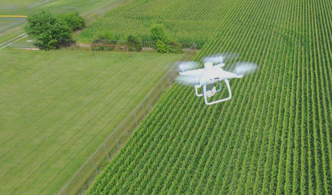
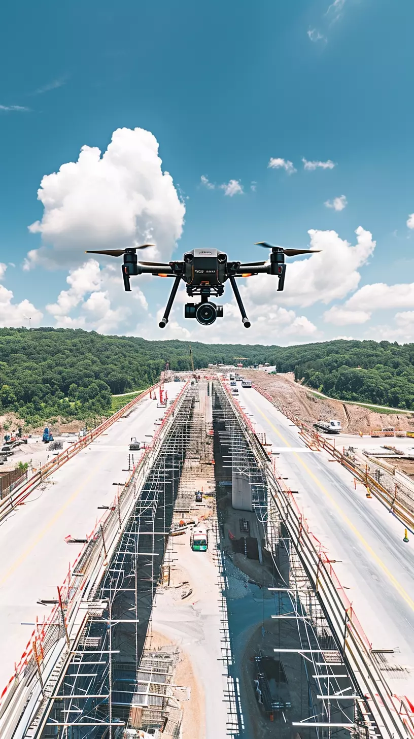
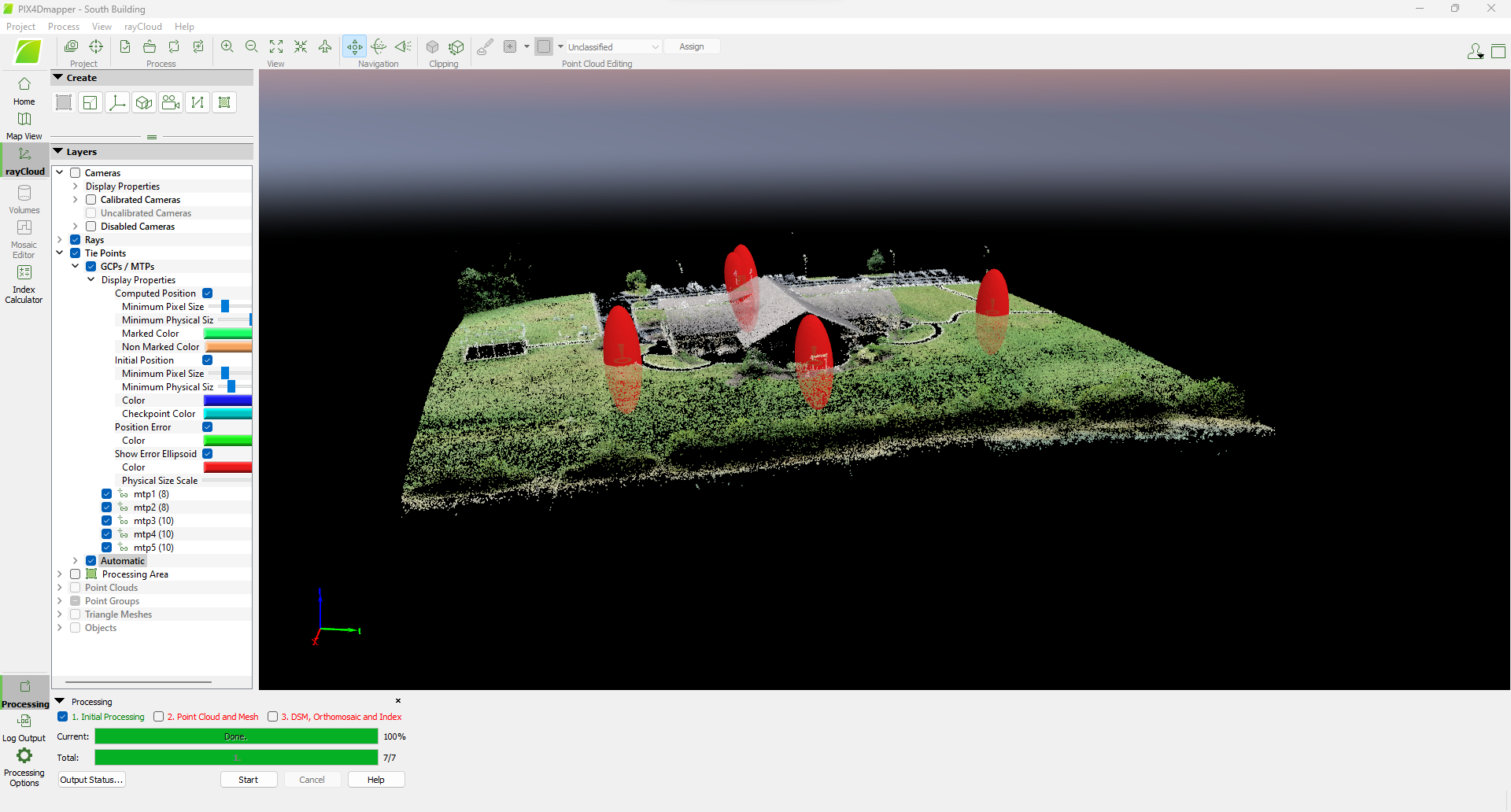
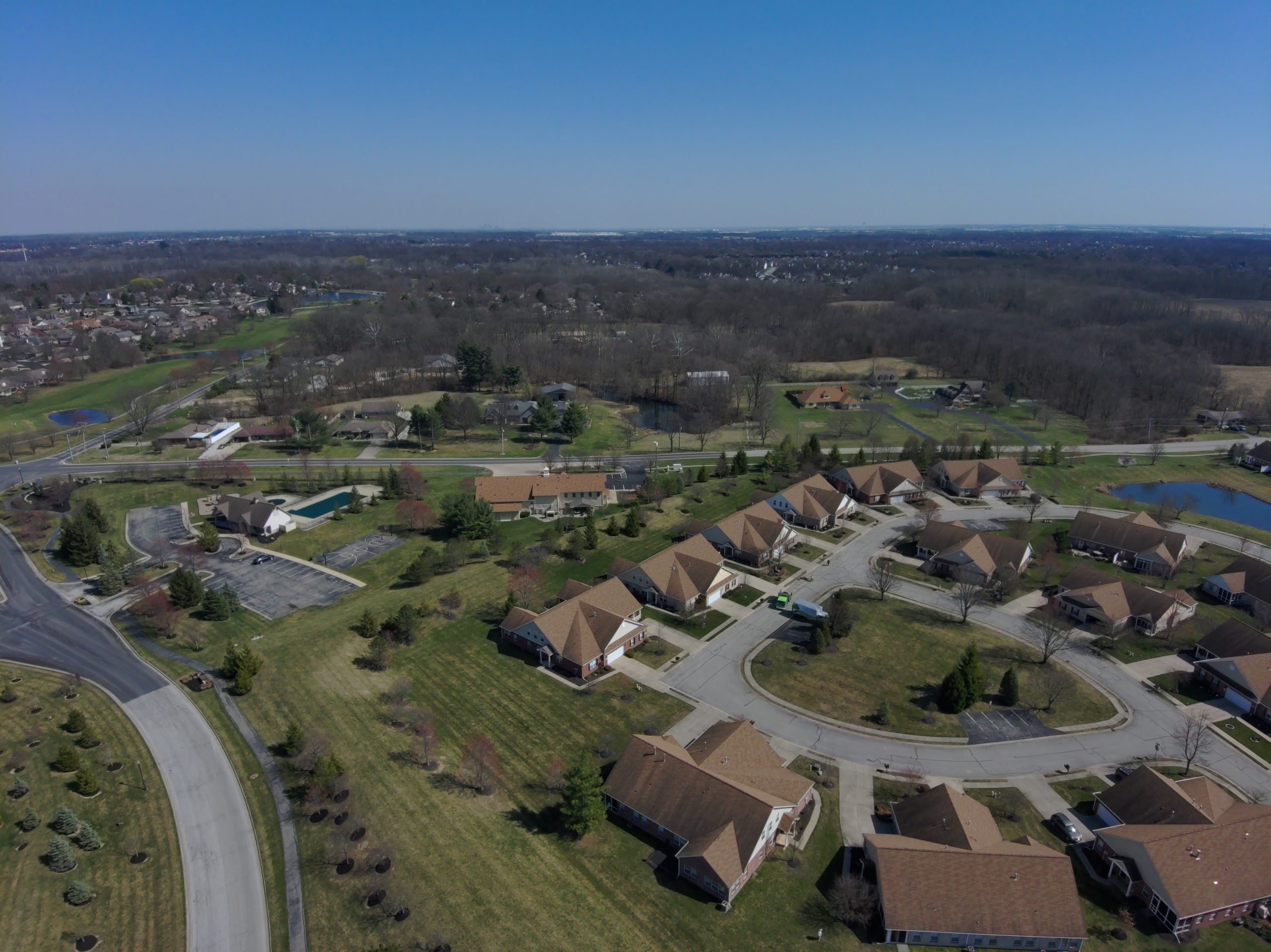
Our Services

At Certus Aerial Data, we define precision in aerial data acquisition with our state-of-the-art drones equipped with RTK and PPK technology, ensuring unparalleled accuracy for every project. Our team, led by professionals, tailors each solution to meet the unique needs of our clients, guaranteeing quality, compliance, and actionable insights in every endeavor.

Discover that certain Certus Difference in Aerial Data

Agribusiness

Data-Driven Farming Solutions: (agribusinesses)

Certus Aerial employs cutting-edge drone technology featuring advanced multispectral cameras to deliver invaluable data for agribusinesses. Our comprehensive approach enhances agricultural efficiency and productivity, providing detailed insights into crop health, soil conditions, and irrigation needs.

  • Multispectral camera technology for advanced insights
  • Detailed analysis of crop health and conditions
  • Precision data for optimized irrigation strategies

Construction

Aerial Data for Accurate Progress Tracking (construction)

Certus Aerial pioneers transformative project management solutions for the construction sector through advanced aerial capabilities. Our innovative blueprint-to-reality approach precisely converts aerial data into actionable insights, facilitating accurate progress tracking and informed decision-making

  • Transformative project management solutions
  • Innovative blueprint-to-reality approach
  • Accurate progress tracking for construction projects

Land Analysis

Aerial Mapping & Terrain Analysis (engineering)

At Certus Aerial Data, we understand the unique needs of engineering firms by offering specialized services beyond traditional legal surveys. Our advanced aerial mapping and terrain analysis capabilities provide invaluable insights for preliminary planning, design, and monitoring of engineering projects.capabilities provide invaluable insights for preliminary planning, design, and monitoring of engineering projects.

  • Specialized services beyond legal surveys
  • Advanced aerial mapping for precise preliminary planning
  • Terrain analysis enhancing project design

Comprehensive Assessments

Infrastructure Inspection

Certus Aerial excels in delivering Infrastructure Documentation services utilizing advanced drone technology. Our advanced approach captures and delivers intricate aerial data and high-quality imagery, with precision and attention to detail playing a pivotal role in optimizing outcomes for infrastructure projects.

  • Comprehensive Infrastructure Documentation services
  • Utilization of advanced drone technology
  • Precision and meticulous attention to detail for optimal project outcomes

Data Certainty

Data for Informed Property Ownership

We are dedicated to serving homeowners with precision and innovation. Our specialized services are tailored to meet the unique needs of homeowners, offering invaluable insights and support for various property-related considerations.