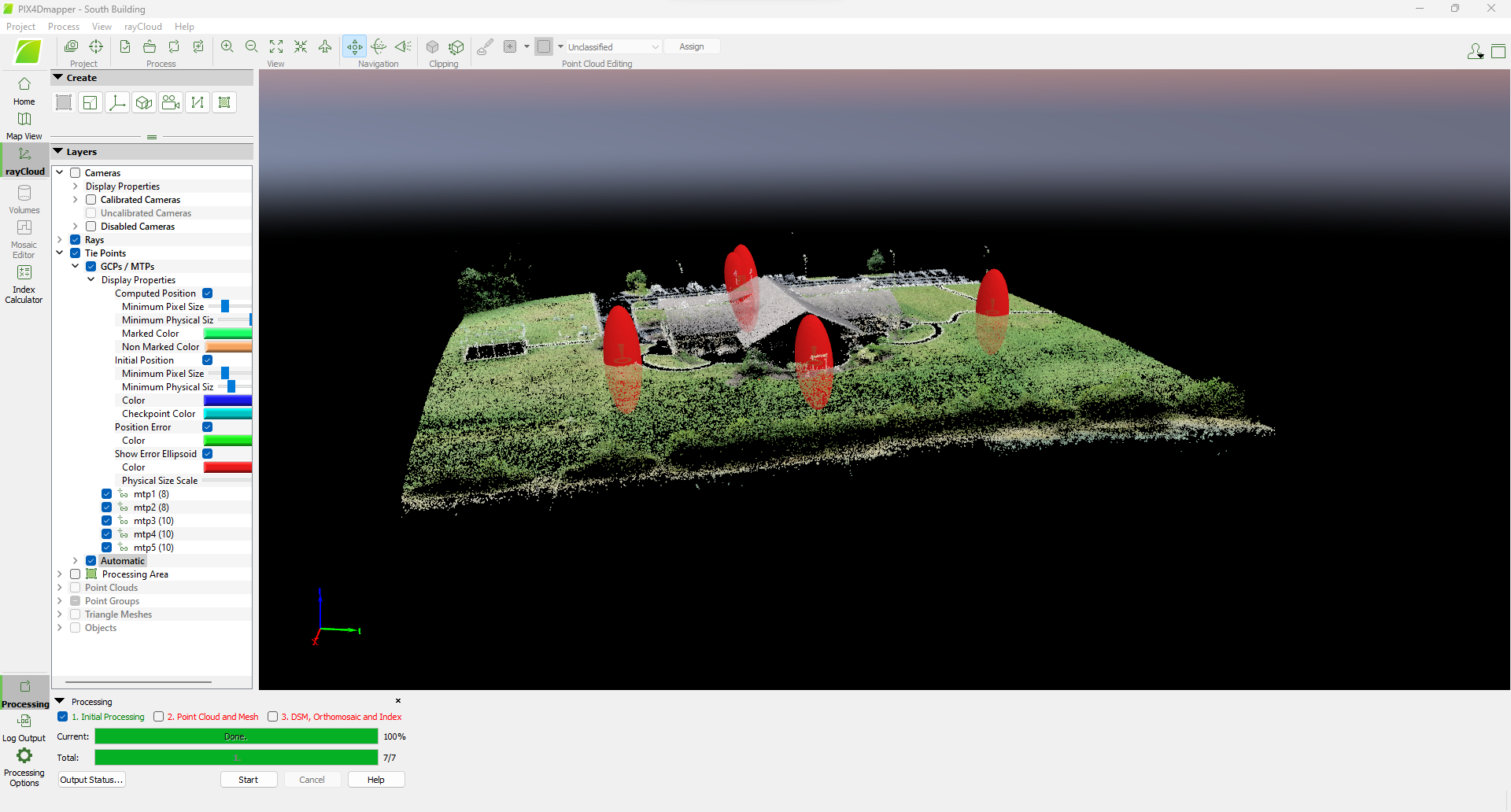
Aerial Mapping & Terrain Analysis (engineering)
At Certus Aerial, we offer specialized Aerial Mapping and Terrain Analysis services, designed to meet the intricate needs of engineering firms. Our advanced aerial mapping and terrain analysis capabilities provide invaluable insights for preliminary planning, design, and monitoring of engineering projects. We excel in delivering high-resolution imagery and detailed topographical data, essential for site analysis, project visualization, and environmental impact assessments. This data aids engineering firms in making informed decisions, optimizing design accuracy, and effectively managing resources, thereby ensuring project success even in the most challenging environments. Our commitment to precision, combined with our innovative approach, positions Certus Aerial as a crucial ally for engineering firms, bridging the gap between conceptual design and practical implementation.

Our advanced drone technology and precise data capture techniques provide essential support for engineering projects:
- High-Resolution Mapping: Detailed aerial maps for accurate site analysis and planning.
- Terrain Analysis: Comprehensive topographic and geomorphological data for informed decision-making.
- 3D Modeling: Realistic terrain models for project visualization and design.
- Site Inspection: Efficient and thorough inspections for site assessment and problem identification.
- Risk Assessment: Identifying potential challenges and risks in terrain and environmental conditions.
These services ensure engineering firms have access to the critical information needed for project success, from initial planning stages to final execution.

Transformative Advances in Land Analysis
Elevate your engineering projects with our advanced land analysis capabilities. Certus stands as the technological catalyst, revolutionizing land analysis in engineering projects with unparalleled precision and efficiency.
Precision Topographic Mapping
Utilize our state-of-the-art aerial technology to conduct precision-driven topographic mapping. This involves a meticulous analysis of the terrain, providing engineers with highly detailed and accurate insights. This data is critical for robust project planning, ensuring a comprehensive understanding of the landscape’s intricacies.
- Comprehensive Land Surveying
Certus Aerial Data’s services include comprehensive land surveying, utilizing advanced aerial technology to gather detailed information about the land’s characteristics. This in-depth analysis enables engineers to make informed decisions during the planning and execution phases, optimizing the overall project workflow.
- Insightful Environmental Assessments
Our advanced technology extends to insightful environmental assessments, facilitating a deep understanding of how a project may impact its surroundings. Engineers can rely on Certus Aerial Data to provide crucial data for assessing environmental factors, ensuring compliance with standards and fostering sustainable practices in engineering projects.
- Accurate Design Optimization
Certus Aerial Data empowers engineers with accurate insights derived from our advanced technology. By leveraging precise land analysis, engineers can optimize designs with a focus on efficiency, functionality, and environmental considerations. This tailored approach ensures that projects are not only successful but also aligned with the specific needs of the environment.
- Technological Catalyst for Efficiency
Certus stands as a technological catalyst, revolutionizing land analysis in engineering projects. Our aerial solutions bring unparalleled precision and efficiency to the forefront, reshaping the traditional approach to land analysis. By incorporating advanced technology, Certus Aerial Data becomes an essential partner in driving efficiency and success in engineering endeavors through innovative land analysis methodologies.


