About Us
Trade Guesswork with Great Work
Fuel your team’s potential with precise geospatial data, unlocking insights to visualize, quantify, and transform operations
Certus Aerial Data utilizes the latest drone technology and integrates it with advanced artificial intelligence to provide highly precise geospatial data solutions. Our expertise serves pivotal industries such as agriculture, construction, and engineering, providing them with aerial data for informed decision-making.
Led by professionals, we offer more than just data; we deliver insights that transform understanding and operational efficiency. Rely on us for innovative, sustainable aerial mapping and inspection services that give you a competitive edge.
Our Business
GeoCrafted Solutions: Mapping Success Beyond Limits
Unlock unparalleled industry potential with our tailored geospatial solutions, custom-crafted to ensure your success and surpass boundaries.
Cutting-Edge Aerial Mapping and Modeling Services
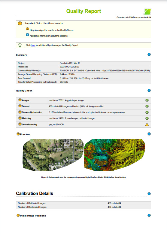
Discover the culmination of cutting-edge aerial solutions with Certus Aerial Data. We redefine the standards of aerial data collection by smoothly integrating advanced technologies with artificial intelligence. Beyond conventional image capture, we specialize in the meticulous delivery of high-precision data. Experience our expertise firsthand as we transform drone-acquired imagery into highly accurate geo-referenced 2D maps and immersive 3D models. Certus Aerial Data is your trusted partner, unleashing innovations that revolutionize precision in aerial mapping and modeling services.
TechSphere Precision: Futuristic Approach to AI-Enhanced Analysis
We go beyond industrial standards, specializing in high-tech applications that range from land development and precision agriculture to infrastructure planning and environmental monitoring. At the core of our innovative methodology is AI-driven analysis, a cutting-edge approach that dives deep into diverse domains, offering nuanced insights into terrain configuration, agricultural crop health, and structural accuracy.
Our comprehensive analysis empowers our clients to make informed, data-driven decisions that not only optimize efficiency but also enhance overall effectiveness in their respective domains. Certus Aerial Data is more than a data provider; we are dedicated to ensuring the epitome of precision and relevance in every dataset we strive to deliver. Tailored to the specific and diverse requirements of our clientele, our technology-driven solutions mark a new benchmark in the seamless integration of AI and aerial data analytics.
Our Services
Why Choose Certus Aerial Data?
Agribusiness
Certus Aerial employs cutting-edge drone technology featuring advanced multispectral cameras to deliver invaluable data for agribusinesses. Our comprehensive approach enhances agricultural efficiency and productivity, providing detailed insights into crop health, soil conditions, and irrigation needs.
- Multispectral camera technology for advanced insights
- Detailed analysis of crop health and conditions
- Precision data for optimized irrigation strategies
Construction
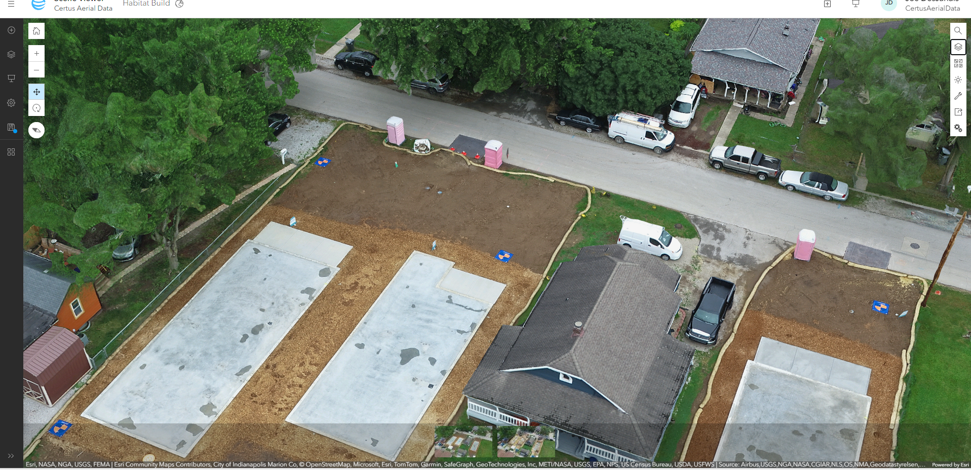
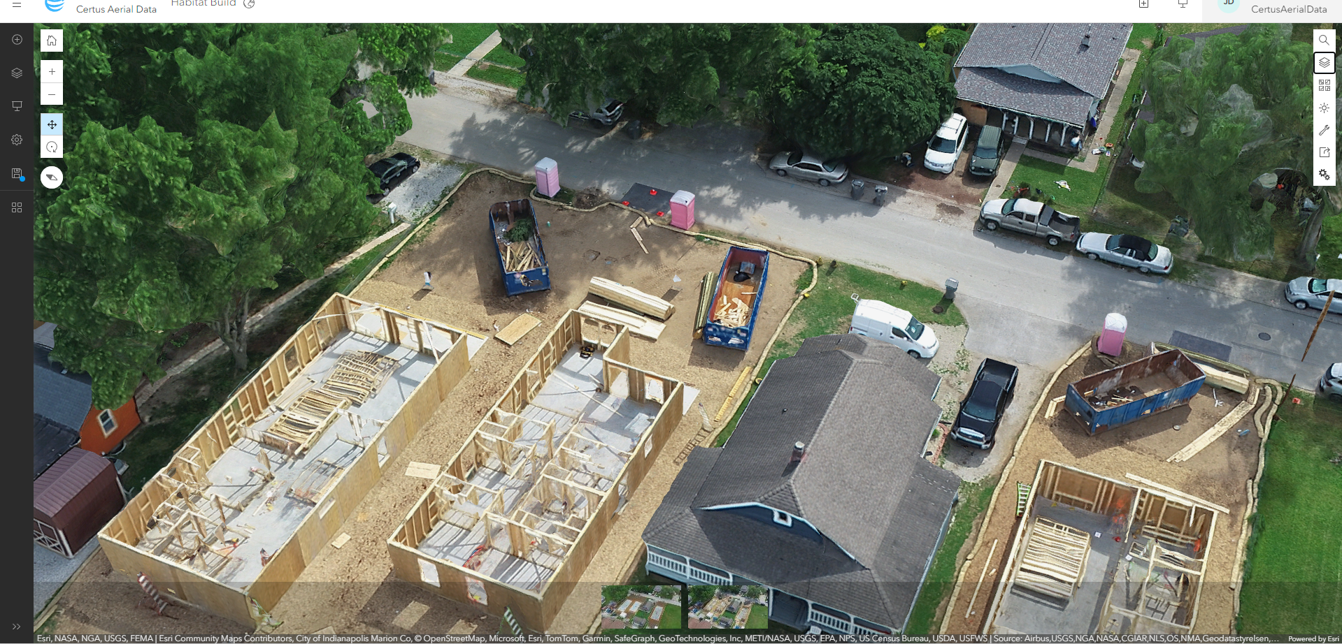
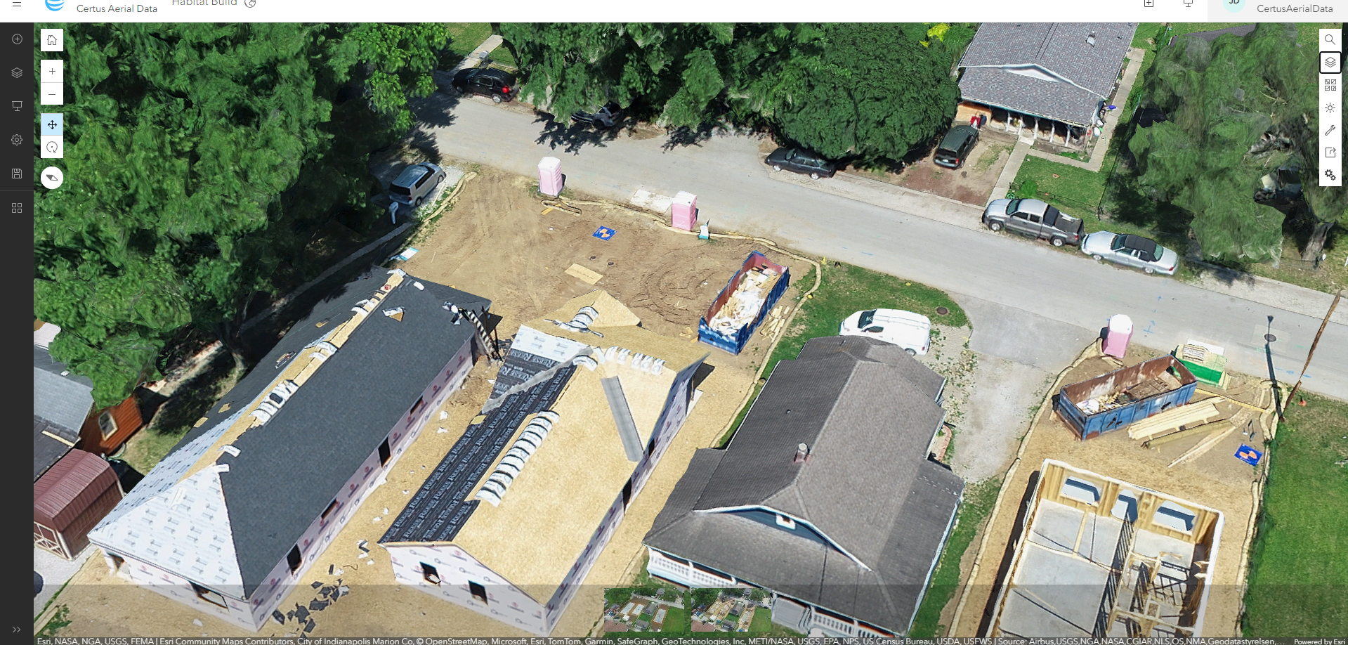
Certus Aerial pioneers transformative project management solutions for the construction sector through advanced aerial capabilities. Our innovative blueprint-to-reality approach precisely converts aerial data into actionable insights, facilitating accurate progress tracking and informed decision-making
- Transformative project management solutions
- Innovative blueprint-to-reality approach
- Accurate progress tracking for construction projects
Precision Solutions Crafted for Your Unique Projects at Certus Aerial
At Certus Aerial, our main aim is to provide tailored services that precisely meet the high standards that our clients demand. Our commitment extends to creating solutions that are designed for the specific requirements of each project, ensuring unparalleled alignment and satisfaction.


