Data for Informed Property Ownership
We are dedicated to serving homeowners with precision and innovation. Our specialized services are tailored to meet the unique needs of Property Owners, offering invaluable insights and support for various property-related considerations. Moreover, our dedication to accuracy allows us to provide measurements even before contractors submit their estimates. This invaluable advantage empowers our clients with the knowledge they need to make informed decisions, ensuring that estimates align with the actual scope of the project.

While this approach may not always be favored by contractors, it ultimately leads to fair and transparent project outcomes, setting a new standard in infrastructure documentation. Here is how Certus Aerial Data can assist homeowners:
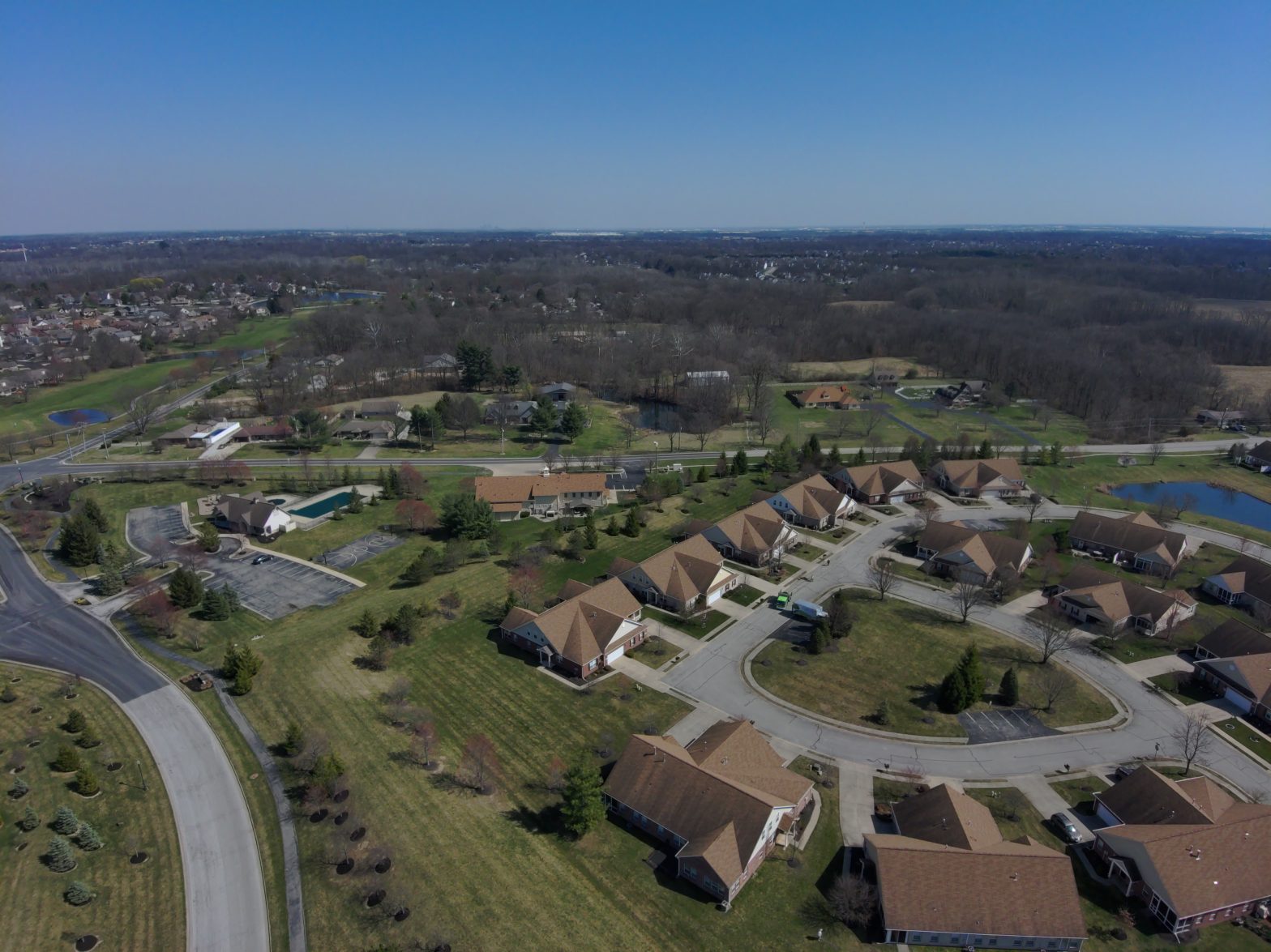
- Property Assessment: Our services deliver high-resolution imagery and detailed topographical data, allowing homeowners to assess their properties accurately.
- Maintenance and Repairs: Homeowners can rely on our advanced drone technology for efficient and thorough inspections of their properties and real estate.
- Construction Projects: For those embarking on construction or renovation projects, our Construction Monitoring services offer real-time insights into project progress, budget adherence, and safety compliance.
- Property Development: Property development and land planning require precise data on land features.
- Environmental Impact: Concerns about the environmental impact of property activities can be addressed through our environmental monitoring services.
- Agricultural Optimization: Homeowners with agricultural interests can optimize their practices using our Precision Agriculture services.
- Privacy and Legal Compliance: It’s essential for homeowners to consider privacy and legal aspects when using drones for property-related tasks.